Objective
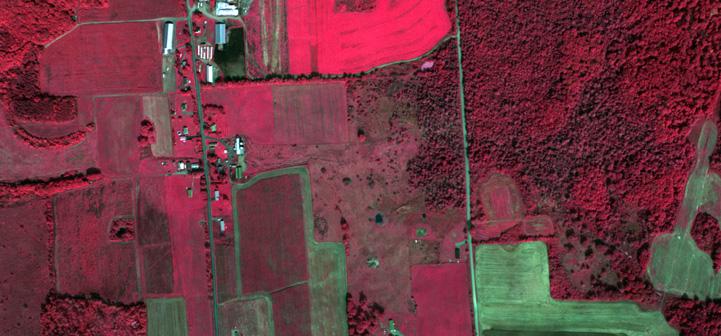
The goal of this lab is to learn about true and false color images. Using ArcMap, you will hone your skills at image interpretation and gain a better appreciation for the use of “invisible” radiation in remote sensing.
| Summary of skills covered: |
|
| Data needed: |
True Color and False Color Images (any image |
 Classified tree canopy layer in the Virginia Urban Tree Canopy Mapper – http://www.utcmapper.frec.vt.edu