Land-Grant Universities at the Forefront of Unmanned-Aircraft Research and Testing

Drone flying over crop
Nation prepares to develop standards and protocols for widespread use

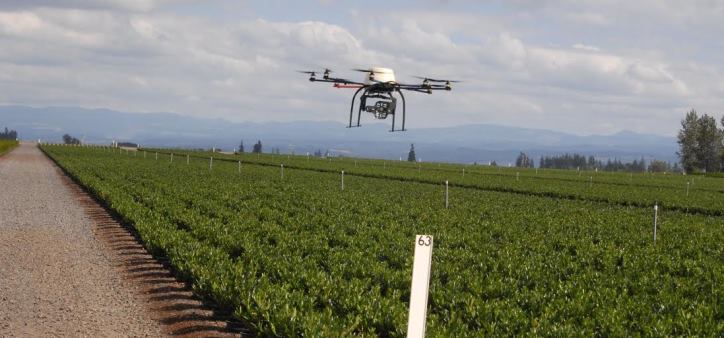
A 2012 Congressional mandate directed the Federal Aeronautics Administration (FAA) to begin integrating civilian unmanned aircraft (aka drones) into the national airspace (NAS) by the end of 2015.

FAA regulates all flight through U.S. airspace. Until now, the agency has allowed only public entities with special FAA permits, called Certificates of Authorization (COAs) to fly unmanned aircraft, mostly for research purposes.

On December 30, FAA picked six test sites from …

What does vegetation index mean in remote sensing technology?

A vegetation index (also called a vegetative index) is a single number that quantifies vegetation biomass and/or plant vigor for each pixel in a remote sensing image. The index is computed using several spectral bands that are sensitive to plant biomass and vigor. The most common vegetation index is the normalized difference vegetation index (NDVI). NDVI compares the reflectance values of the red and near-infrared regions of the electromagnetic spectrum using the following formula: NDVI=NIR-RED/NIR+RED NIR is the pixel’s reflectence …

What is the difference between a recreational grade GPS, a mapping grade GPS, and a survey grade GPS?

1. Recreational grade GPS receivers are sold at most box stores and at many sporting goods and camping stores. They are also available widely through Internet retailers. These units are the least expensive grade and are generally accurate to within +/- 25 feet (7.6 meters). These receivers run in the $100 to $600 range and are the type most often purchased by the general public.

2. Mapping grade GPS receivers are generally sold by “high end” and licensed resellers. These …