
Want to go on real treasure hunt? Want to know more about how maps are used to help you find where you are and where you’re going? Ever get frustrated if the GPS in your phone takes you to the wrong place?
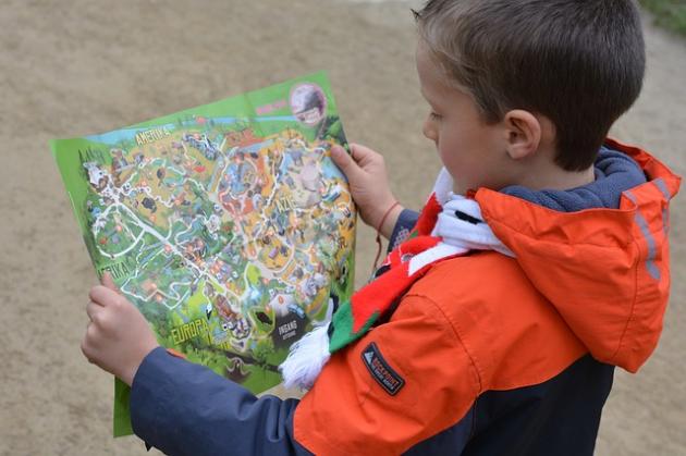
Geospatial technology is all about using maps and technological devices to design maps and locate specific points on Earth. Click below to learn how this technology works. Once you’ve mastered the basics, you might want to try your hand at geocaching, a treasure hunting game using satellite signals and GPS units to find the millions of hidden treasures around the world!
What Is Your Geospatial IQ?
- What is GPS?
- How does GPS work?
- What can a GPS calculate?
- How are GPS satellites powered?
- Youth Curriculum and Teacher Resources