
We have a new website!
Please join us at https://mapasyst.org for the latest on the ways maps are being used for outreach and engagement in Cooperative Extension across the country.
…
…

A topographic map shows the physical features of Earth. These features can be mountains, rivers, lakes, valleys, craters, and more. Man-made features such as roads may also be included.
In addition to physical features, a topographic map shows the elevation changes of land. Elevation is the height of land above a given level, usually sea level. Elevations are indicated with contour lines. Every point on the map connected to the same line is the same elevation. The lines have …

A Geographic Information System (GIS) takes the information gathered from Global Positioning System (GPS) units and organizes the information into maps. GIS maps are interactive. They allow you to see the map from different angles, to zoom in and out, and to hide selected features. Some GIS programs are designed to help track storms or predict erosion patterns. Other systems, such as the GPS in a car, can provide a map and help you navigate to a particular location. …

A map is designed to represent a variety of information. Some maps show where roads are located. Others show the location of tourist attractions or local landmarks. Other maps show weather patterns.
The objects on a map are indicated by symbols. The symbols are pictures that represent something in the real world. The map key or legend tells you what the symbols mean. For example, a picture of an airplane likely means there’s an airport located there.
A map also …

Greg Bonynge is a Geospatial Extension Specialist at the University of Rhode Island’s Environmental Data Center. He has a special interest in geospatial data management and archiving, and server-based technologies for supporting emergency management applications. Greg holds a B.A. in Biology and a M.S. Environmental Science.
Currently, Greg serves both as project manager for a National Park Service project that is assisting coastal parks with using geospatial technology to prepare for storm events, as well as data manager on behalf …

Paula Kay Lazrus is an archaeologist and an associate professor in the Institute of Core Studies at St. John’s University and is also affiliated with the school’s Environmental Science Program. Paula teaches a basic environmental analysis class for the latter program and integrates various types of GIS tools into that class and others that she teaches. This also includes a multi-year academic service learning project with freshman that involves collecting GPS positions and basic measurements on the campus’ 3000 …

|
Summary of skills covered: |
|
| Data needed: | Students will collect and graph their own data using a spectrometer. |
| Equipment and Software needed: |
Hardware: Spectrometer – a spectrometer kit is available from VirginiaView / the Virginia Geospatial Extension Program. Contact John McGee or Jim Campbell for details. Software: None |
| Related book exercise (if applicable): |
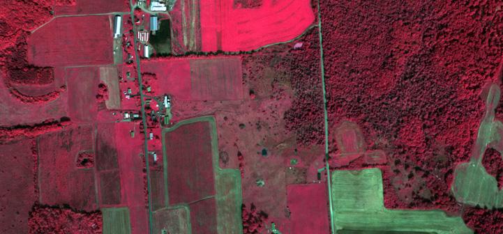
The goal of this lab is to learn about true and false color images. Using ArcMap, you will hone your skills at image interpretation and gain a better appreciation for the use of “invisible” radiation in remote sensing.
| Summary of skills covered: |
|
| Data needed: |
True Color and False Color Images (any image |

Shannon White is a 4-H State Science Youth Specialist at the University of Missouri Extension, has focused on outreach and research in GIS and geospatial education for over 14 years. Shannon has been working at the University of Missouri to promote geospatial technologies, geographic analysis and spatial thinking throughout the state since 2008. Her work in Missouri is with local, state, regional, national and international groups of researchers and geospatial technology users. At the Missouri 4-H Center for Youth …
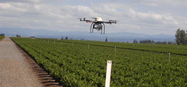
Nation prepares to develop standards and protocols for widespread use
A 2012 Congressional mandate directed the Federal Aeronautics Administration (FAA) to begin integrating civilian unmanned aircraft (aka drones) into the national airspace (NAS) by the end of 2015.
FAA regulates all flight through U.S. airspace. Until now, the agency has allowed only public entities with special FAA permits, called Certificates of Authorization (COAs) to fly unmanned aircraft, mostly for research purposes.
On December 30, FAA picked six test sites from …